work ended (until december) on the 12th of this month. on the 14th we planned to head south to do some climbing around mammoth (crystal crag) and then maybe something in tuolomne since it had been so warm. then the forecast took a turn for the worse with much rain in the forecast for the duration. a quick change of plans had us heading north for two days of sunny climbing on the redwood coast then some mountain biking in downieville. fate had other plans and we would not climb in the sun, but still had much fun.
wednesday we get our usual late start but no worries. we don’t have too far to go and grizzly dome doesn’t have too much to offer, especially for the dogs who would have to remain in the car. but then we notice that the bumblebeast is all over the road and wicked scary to drive (and passenger). hutchski just put new shoes on the van so we stopped by the placerville les schwab to see what was up. they said the front tires (which were replaced a month before the rear) were over 100psi. problem is she also has a readout from very recent oil change where part of the service is to check tire pressure, and the front tires were both listed at 55psi. the consensus is one of the front tires was not installed properly and was very loose, but they didn’t want to say that, making their company look bad. either way the issue was solved and for free.
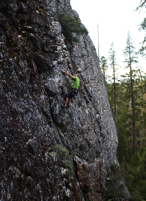
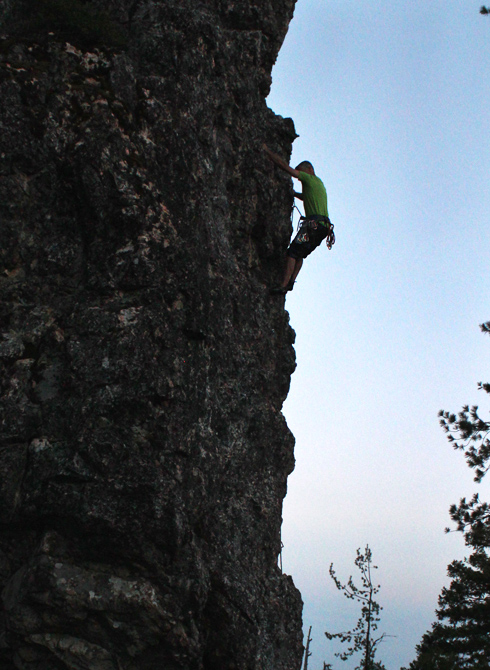
we arrived at the dome as the sun was setting and quickly set up our belay. fortunately that was just a matter of backing up the beast to three weenies doing 5.12 (5.7)

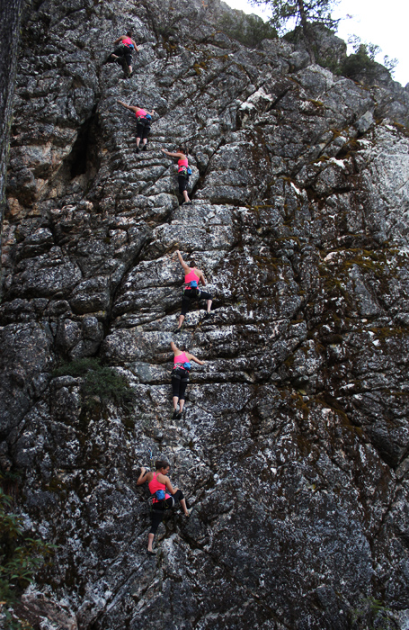
the artsy shot from the gopro

the next day we headed to land of the lost. it looked like a 2 to 3 hour drive so we would arrive with plenty of time to climb. then we saw signs. expect a 1 to 2 hour delay on highway 299 between here and where you’re going. also google maps took us a roundabout way to get to titlow hill road, adding another hour (a scenic one though). we climbed, but not in the sun.
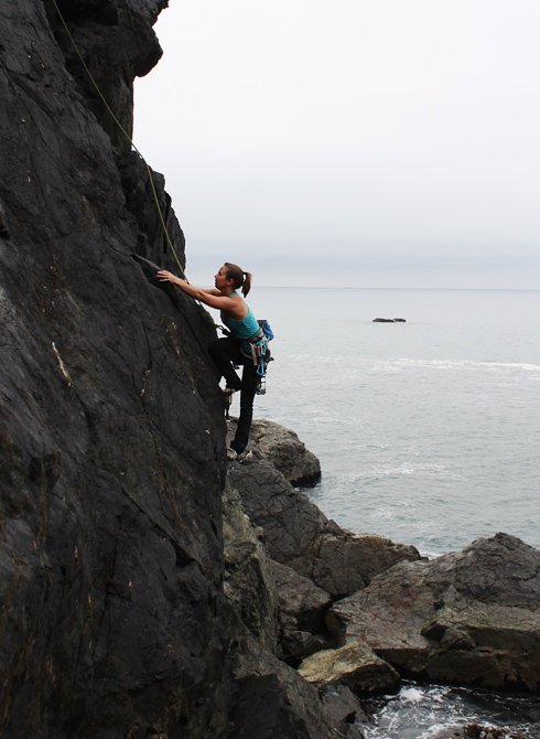
we went to the pinch me wall since it was pretty close and had plenty to offer us. the climbs were generally pretty easy for their repsective grades.
me on surprisingly delightful (5.8)
hutchski is easily amused (5.6)
tossing the rope off emerald forest (5.7)

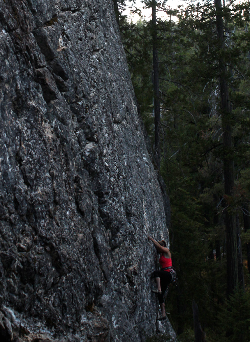
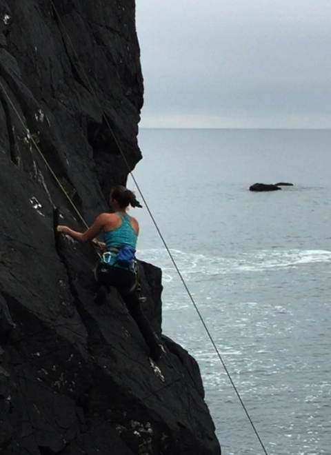
pulling the crux of pinch me i’m dreaming (5.10a)
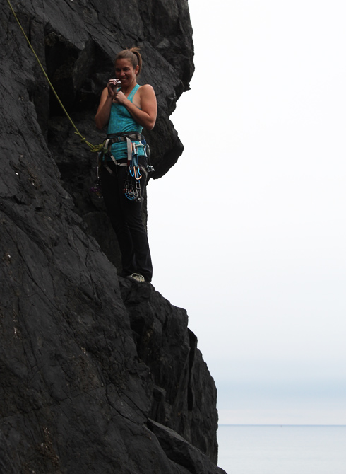
the chalk grab never goes out of style

on the way out we stopped by sunset spire cause it was sunset so we had to. we both climbed hell if i know (5.7)

but then after rapelling down hutchski couldn’t budge the rope. we gave it a couple yanks but given it was pitch dark we bailed. it would be a good reason for me to come back the next morn.
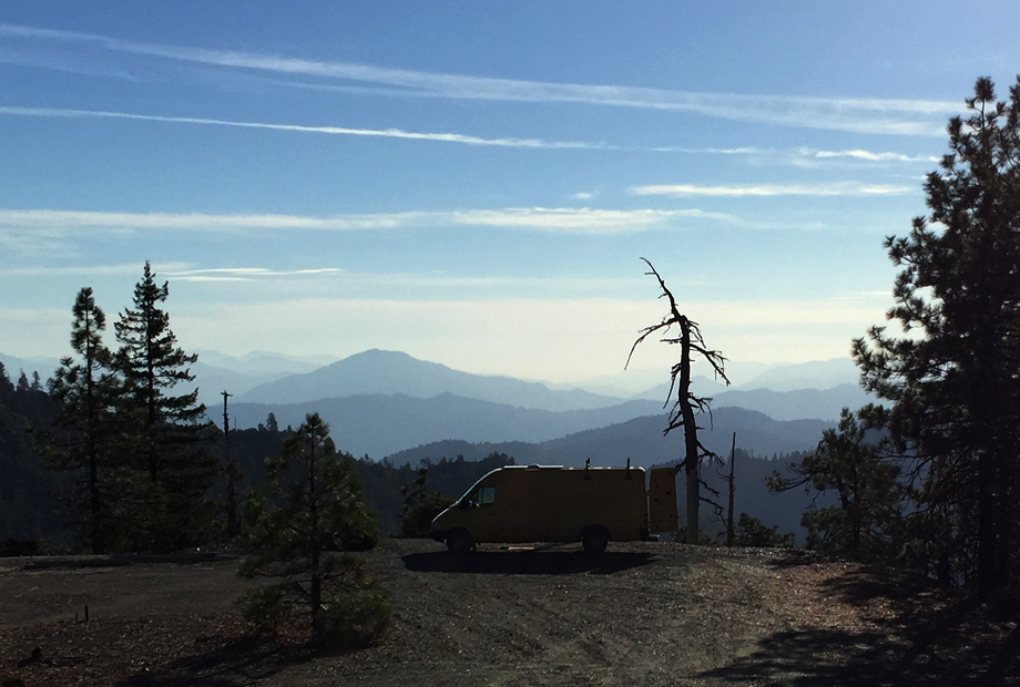
the next morn. #homeiswhereyouparkit
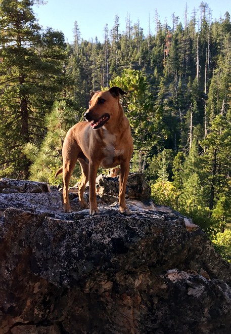
nacho was certainly excited to be up early
i went up using an autoblock for protection. fire it up (5.9). very fun climb, and look, it’s the sun.

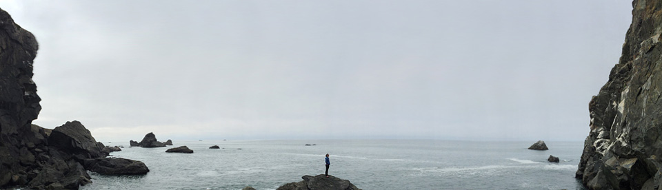
this was finally gonna be our day in the sun. we got a good start and it was only an hour to the coast and another 45 minutes up to patrick point state park and climbing right over the pacific. awesome!
except apparently the sun never shines on the redwood coast. cove south of wedding rock
who needs the sun though? cove north of wedding rock

we climbed a couple routes on the rock way left in the first pano. me on an unknown 5.7ish crack

hutchski following
then we toproped a fun crack next door, maybe 5.9 with a low roof
and wittle bugz


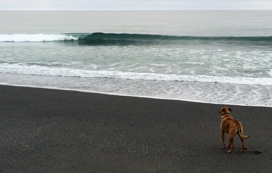
we weren’t sure where we were headed next so we drove north on 101 and stopped at humboldt lagoon state park so the dogs could run on the beach.
nacho enjoys a serene moment
then stoke happened
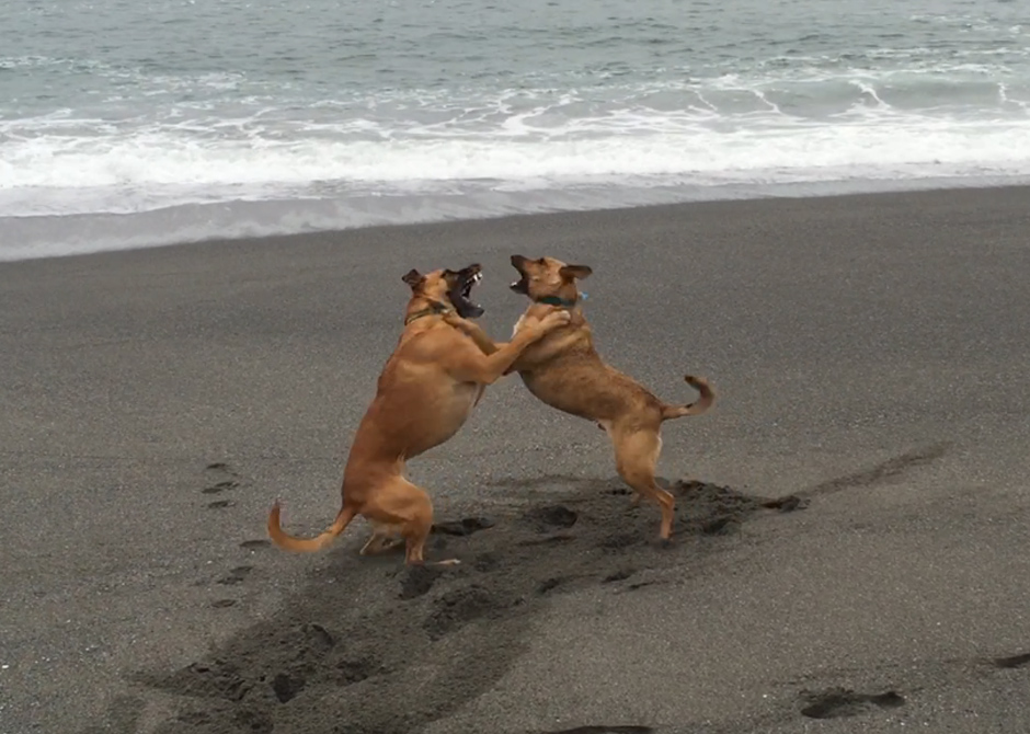
we found a cave. i dub thee shaka cave

looking at maps ashland, oregon was not too far at all. we heard great things about the biking there. we opted not to shuttle since we were planning on shuttling downieville the next day and the pups need their fun too. we rode from lithia park up to four corners and back. the trails were pretty rutted, especially catwalk and bti. there seems to be official trails and plenty of unofficial trails in the area. i’m guessing some of the unofficial would have been more better. no pics from ashland??
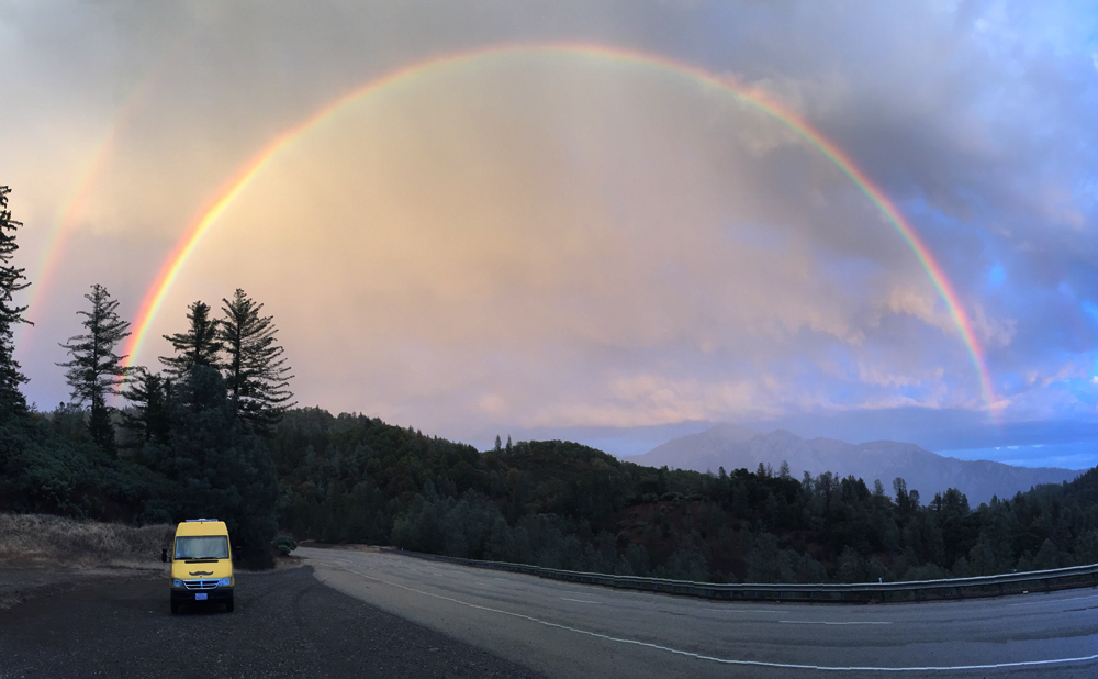
that evening we started the 5 hour drive to downieville. the evening light and the clearing storm made for great skies.
then this happened. omg what does it mean?
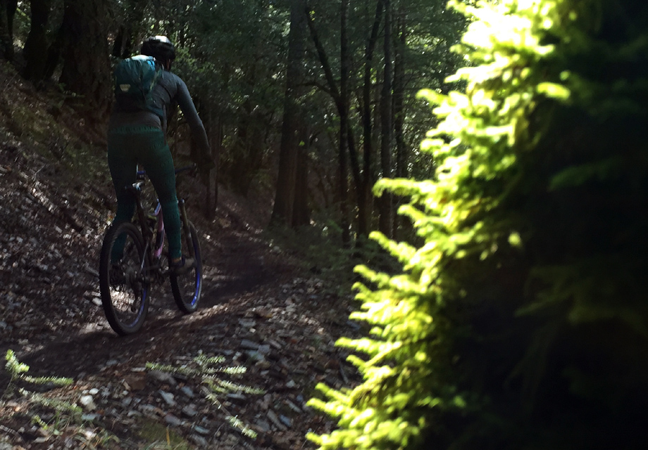
in contrast to our riding in ashland, downieville was in near perfect condition. great technical riding, smooth flowy singletrack through moss covered forests, and the trailwork they’ve done over the recent years up top is awesome.


next up, the eastside